
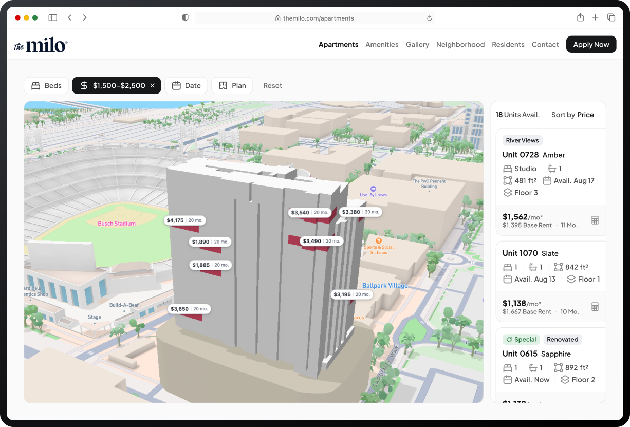

Visualize your next move.
Find the exact unit. See the real price. Move confidently.


Engrain powers geospatial in multifamily.
It’s Google Maps for apartment communities. For 15 years, Engrain has mapped apartments, parking spaces and paths, with a permanent ID for every unit. At Booth #228, we’re showing what those maps can do next, for operators and partners.
30,000
properties mapped
7.5M
estimated units, each with a permanent ID
15+
years mapping multifamily
Engrain helps you make better operational decisions, faster.

Your digital front door to unit-level leasing.
Make the specific unit instantly visible for prospective renters.

Accelerate lease-ups with interactive touring.
Keep prospects moving seamlessly through a property.

One map. Every system. Smarter decisions.
Multiply ROI across your entire tech stack by using spatial data.